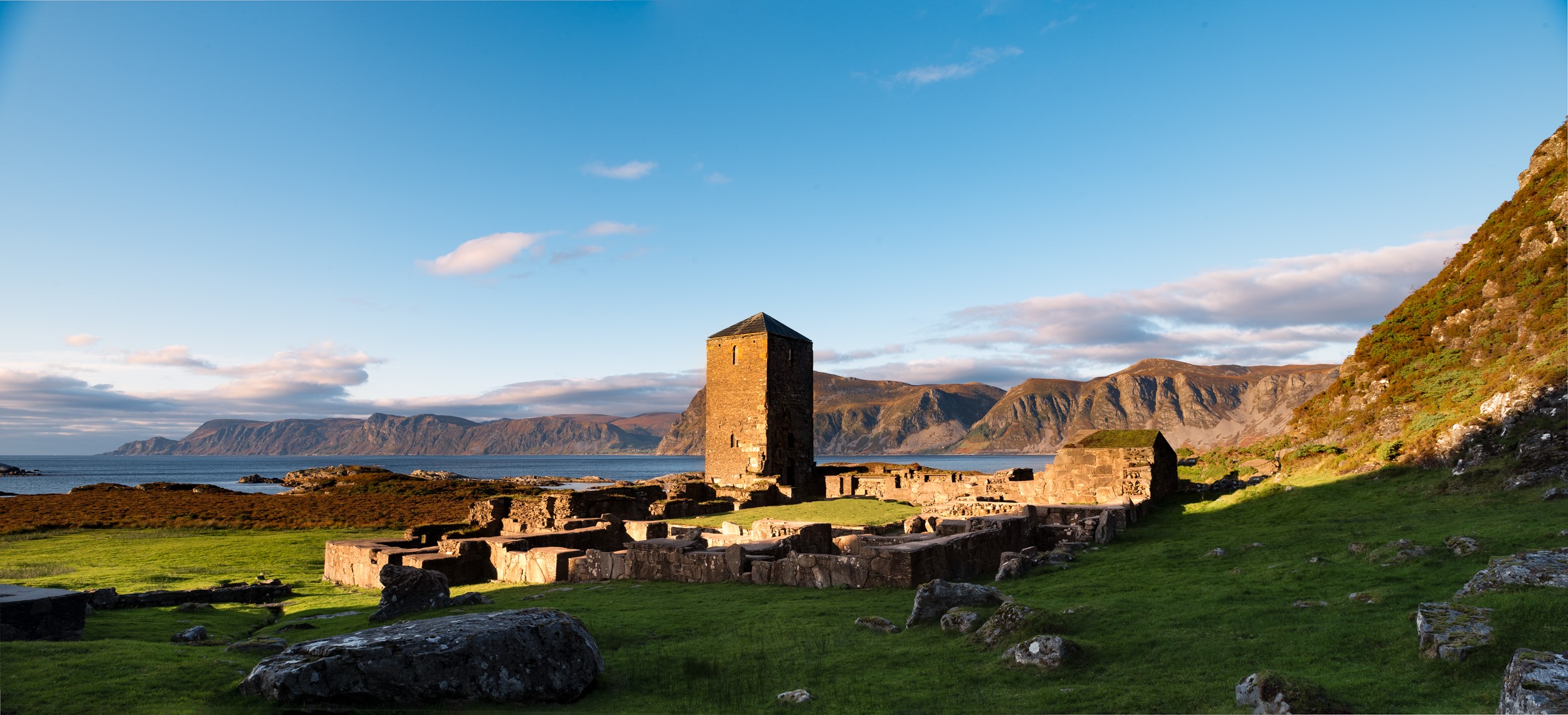
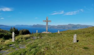
The island has two different monastic sites. The saint’s shrine is located up on the mountainside and the ruins of the monastery, with the monastery tower still intact, are located down on the plain.
The monastery was built over the course of 200 years and was completed in the 1300s. The oldest section is the west end of St. Alban’s church, which dates from around 1100. The church was later extended to the east, and the tower was added to the west. The south and east wings were built in stone at the end of the 1200s, with the west wing being completed in the early 1300s. At Klostervågen harbour one finds Munkestøda, the ruins of the monastery’s boathouse.
There are three hiking trails on Selja. The road on the north side is the oldest and most used path out to the monastery. At an easy pace, it is a 25-30-minute walk out to the monastery on this 1.5-km-long road.
The trail on the south side is not used as much but is also a nice walk. The landscape and views are more expansive and dramatic on this side of the island. If you are lucky, you can glimpse sea eagles. You should plan to spend an hour walking between the monastery and Bø on this 3-km trail.
The third trail crosses the highest point on the island and takes about an hour and a half to walk. The peak of Selja is called Varden, rising 201 metres above sea level. From the monastery, the trail begins at the top of the stairs at the St. Sunniva Cave. From Varden, you have amazing views in every direction.
Stad municipality, the University of Bergen, NIKU, the Directorate for Cultural Heritage, and the Bergen-based company Arkikon have collaborated on an animated film about the monastery, which depicts how it may have looked around 1320. The film gives us even more insight into how monastic life may once have been like. You can watch the film here.
Visit Klosterbåten’s website for information about ferry departures.
More information and facts can be found on Selja monastery’s website.

